

A fall storm bringing wintry weather to the Roanoke Valley throughout the day has forced cancellation of all schools in Halifax and Northampton counties Monday.
Several service-oriented businesses have announced closings for Monday.
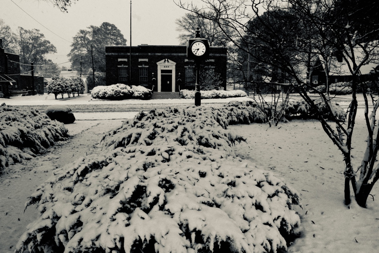
Roanoke Rapids, Weldon, Halifax and Northampton county schools are closed along with Halifax Community College.
Area private schools are closed in Halifax and Northampton counties as well Gaston College Preparatory and KIPP Halifax. The Haliwa-Saponi Tribal School will be closed.
Choanoke Public Transportation Authority will be closed. Rural Health Group is closed. FMC Roanoke Rapids Dialysis will open at 9 a.m. Monday. The Gingerbread House preschool is closed.
The city of Roanoke Rapids announced this evening all its non-public safety offices will be closed Monday.
This includes all city parks and recreation facilities and programs.
Due to adverse road conditions, public works sanitation crews will not collect trash on Monday. The Monday route will be collected on Wednesday.
The city said it “will continue to monitor the weather and road conditions and issue any alerts as soon as possible. Public safety personnel — fire, police, public works — will be operating throughout the duration of the conditions. We always ask the driving public to use caution and with any winter storm event limiting travel is recommended and appreciated.”
Halifax County government offices are closed Monday as well. Halifax County district and small claims courts are closed along with Bertie County civil court, the only district courts scheduled Monday.
Public works Director Larry Chalker said this evening an estimated 6 inches of snow fell in the city prior to rain setting in.


Meanwhile, in its latest briefing this evening, the National Weather Service expects additional wintry weather and dangerous travel conditionals throughout much of central North Carolina Monday.
The NWS expects hazardous travel conditions north of the Highway 64 corridor with the worst conditions north of Interstate 85 to Roanoke Rapids for the remainder of the evening through Monday night.
Monday morning could bring sleet to the Roanoke Rapids area. The NWS says it expects this system will bring only minor amounts of additional snow, sleet, freezing rain accumulation “but it’s worth noting that forecast models have trended worse with this system over the past 24 hours and this system will need to be closely watched.”
Less than an inch of additional snow is expected through 7 a.m. Tuesday.


