

The North Carolina State University Climate Office says Wednesday’s snowstorm, for many areas of the state, was the largest single-day event since February of 2020.
More than 8 inches fell near the Virginia border.
There has been no official word on the amount of snowfall which fell in the Roanoke Valley, only a range of between 6 to 8 inches.
As flurries still fell at the time of this report the National Weather Service Raleigh bureau said in its morning update that hazardous traveling conditions persist across much of the area.


Sergeant Levern Bynum of the North Carolina State Highway Patrol said troopers responded to between 80 to 100 calls Wednesday. There were no fatalities reported.
“A lot of people heeded the warning,” said Halifax County Emergency Management Coordinator Buddy Wrenn. “There’s a lot more ice south to us.”
Some telecommunicators spent the night at Halifax County Central Communications so they would be prepared for their upcoming shifts, he said.
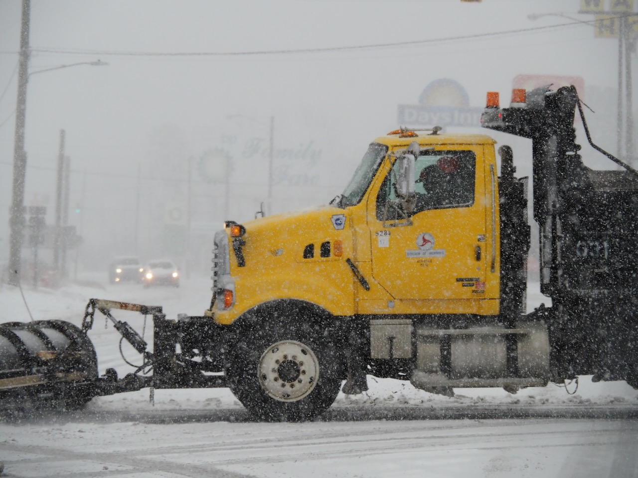
Roanoke Rapids Public Works Director Larry Chalker said crews had been preparing for the storm since Monday morning and applied 96,000 gallons of brine to roads before the storm. “We just don’t have enough salt on hand to handle this much ice.”
Salt is in his budget list for the upcoming fiscal year.
The NWS said it expects increasing amounts of sunshine this afternoon but with temperatures failing to climb out of the 30s, the melting of snow and ice will be slow.
Subsequent hazardous travelling conditions and black ice is possible tonight and Friday morning.
Wind chill values will fall into the teens and single digits tonight and Friday morning.
Sunshine and somewhat warmer temperatures are expected on Friday and especially Saturday.


