

Another round of winter weather is expected to begin Friday night through Saturday morning, according to the National Weather Service Raleigh bureau.
Over central North Carolina 1 to 2 inches of snow is expected although it is currently not clear where the highest amounts will be.
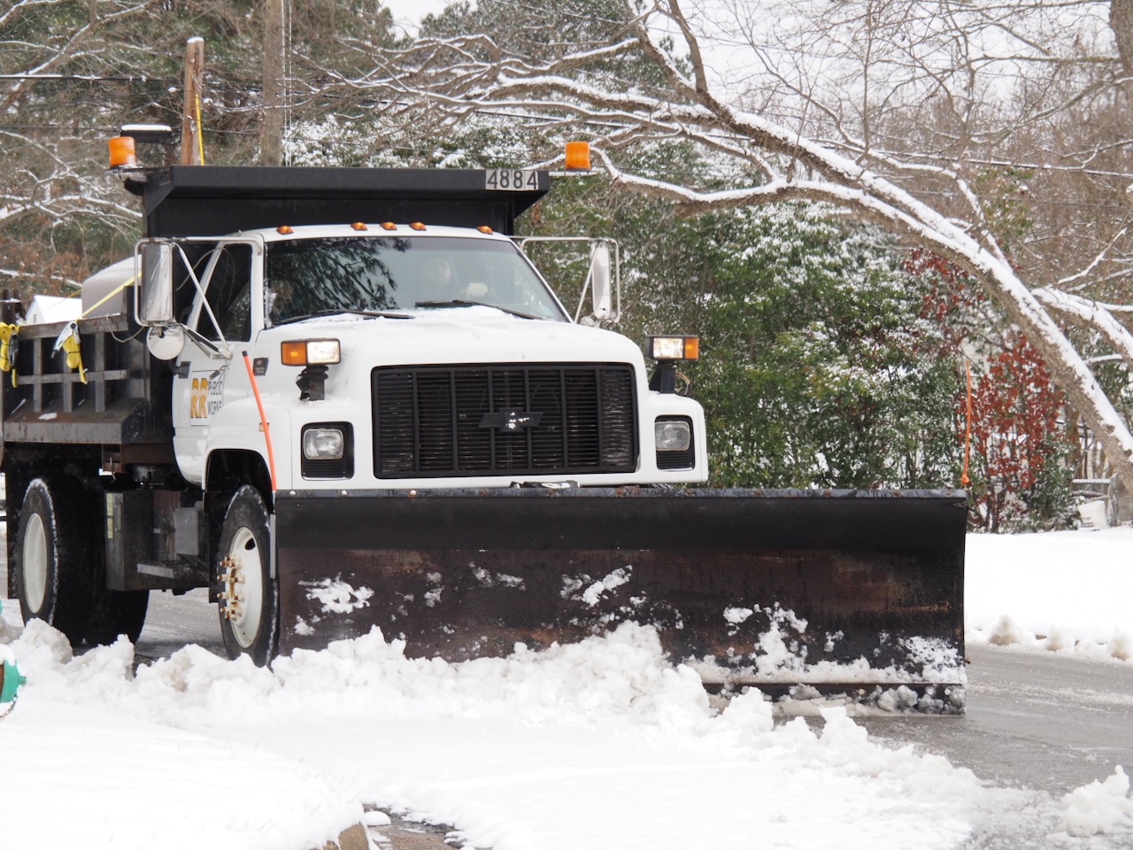
The NWS expects dangerous road conditions localized across much of central North Carolina with the worst conditions north of Highway 64. Black ice concerns are in play following the storm, which is also expected to bring wind gusts of 25 to 35 miles per hour and the possibility of isolated power outages.


Precipitation is expected to begin after sunset Friday in the form of a brief rain before quickly changing to snow. Several bands of snow are expected to move across the central part of the state Friday night, ending gradually from west to east during the late morning hours Saturday. Hazardous travel conditions will remain where the snow falls heaviest.
There is the opportunity for rapid melting Sunday as sunshine is predicted.
The NWS says the best chance of heavy snow accumulations is across locations north and east of Rocky Mount with possible scenarios where there are more limited and slightly higher amounts across the Piedmont.
One scenario shows a low pressure system moves farther east and a secondary upper level disturbance is weak, resulting in much less precipitation and little to no snow accumulation across the region.
The other scenario shows that the storm system is stronger and tracks further west, spreading significantly more precipitation across the area as well as more snow in central North Carolina — the heaviest north and east of Raleigh.


