

With snow showers underway in the Roanoke Valley, the National Weather Service this morning updated its early briefing to say reduced accumulations are expected from what was previously predicted.
“While storm total snow accumulation amounts have been reduced, winter storm warnings and advisories remain unchanged,” the NWS Raleigh Bureau said.
Patchy light wintry precipitation was expected to break out during the mid to late morning hours and become more widespread and steadier during the early to mid afternoon. Limited andlight accumulations are possible through early afternoon, mainly on elevated surfaces. “As precipitation rates increase, temperatures drop and dusk approaches, wintry precipitation will accumulate more efficiently beginning during the mid afternoon with conditions worsening during the late afternoon and evening.”
Freezing rain with accumulations of ice up to a quarter of an inch are possible mainly to the south and east of Raleigh, especially near Goldsboro and Fayetteville.


After a lull overnight, a band of snow showers or light snow may provide an additional coating of snow across northern areas on Thursday morning.
Where the heaviest ice accumulates, there could be some minor tree damage and
scattered power outages. Subsequent black ice is possible on Friday morning and perhaps Saturday morning.
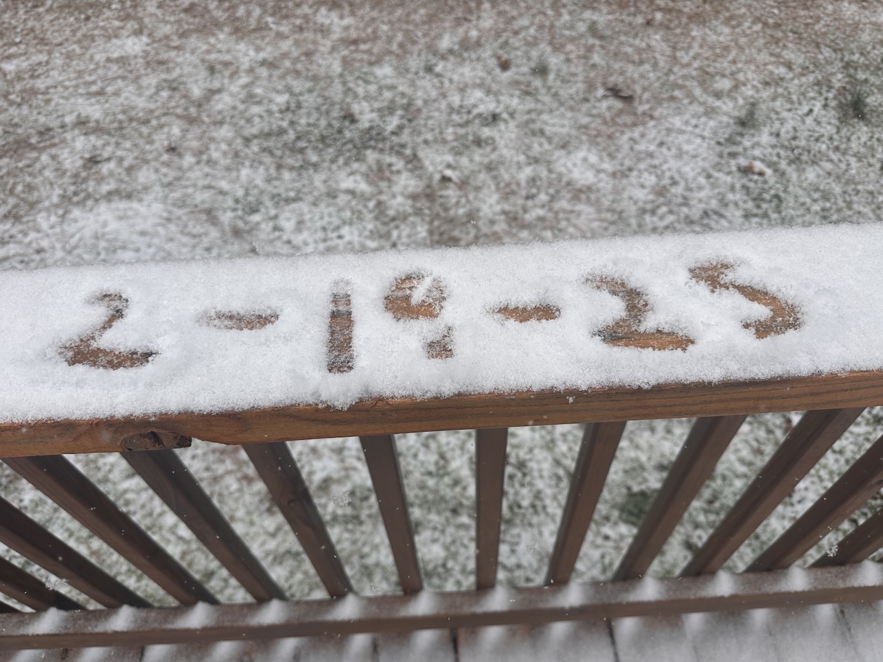
The NWS said 1-2 inches of snow is expected in the Triad and Triangle; 2-4 inches near and northeast of Roxboro and Rocky Mount with locally more near Roanoke Rapids and Tarboro.
During Tuesday’s city council meeting, Roanoke Rapids fire Chief Jason Patrick said, “Just as a reminder to everyone, just be safe with heating. If you’re using any kind of space heaters, they need space, a three-foot area cleared around them and make sure you don’t have any kind of combustible materials around any other flames — wooden heaters, fireplaces or gas logs.”
He said people with generators should put them outside in a well-ventilated area and not too close to the house where fumes could come inside.
Captain Harold Phillips of the police department told the council, “Our weather changes from day to day, minute to minute, hour to hour and we honestly don't know what's coming. We do know we’re getting something. We just don’t know exactly how much.”
He said, “If you do not have to be out on the road in traffic — please stay home. You’re putting yourself in danger, you’re putting others in danger, you’re putting our first responders in danger just for having to respond to calls that include wrecks, house fires and other things.”
He asked those who have to be out to use extreme caution.
“Our public works department is committed to continue to brine and plow streets,” City Manager Kell Traynham said. “We have about 100 miles of local streets that are city streets, not including state ones, so there’s a lot of area to cover. Our police and fire departments are trained and ready to assist as well. We will have plans in place to handle emergencies around the clock.”


