

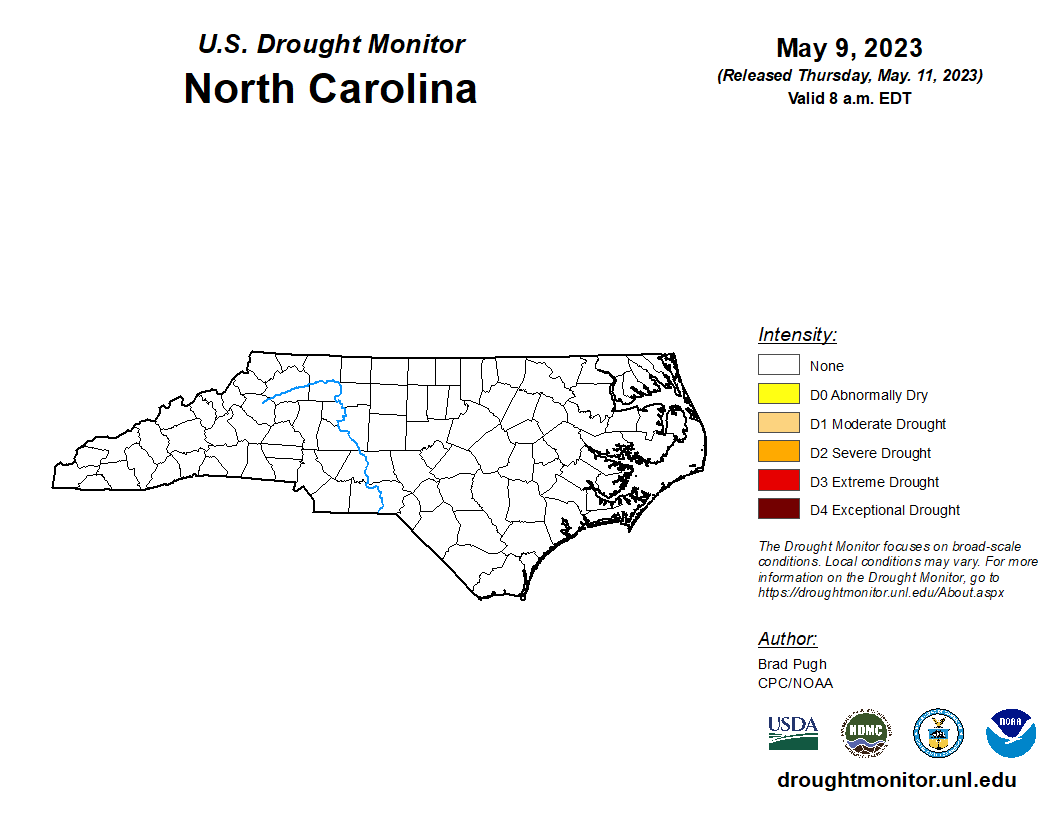

Consistent and heavy April showers have resulted in a clear drought map for North Carolina in the U.S. Drought Monitor as reported through the North Carolina Drought Management Advisory Council.
Since May 4 all of North Carolina’s 100 counties were determined to be free from drought or abnormally dry conditions.
“This is the first time the state’s drought map has been clear of any drought and dryness in more than two full years – since April 13, 2021,” said Corey Davis, North Carolina assistant state climatologist and DMAC member.
This year, a dry March led to the entire central and eastern areas to be considered abnormally dry or in moderate drought.
Regular, heavy rains since then caused the rainfall deficits to disappear across the state.
Heavy rains during the last two weeks helped to alter conditions, even at the coast, to return to the normal range.
Over the past two years, North Carolina has experienced several periods with more than 80 percent of the state with conditions ranging from abnormally dry to severe drought.
On December 28, 2021, approximately 87 percent of the state was in moderate to severe drought with an additional 12 percent being classified as abnormally dry.
Various rainy periods and heavy rain events mitigated conditions at times, however portions of the coastal plain experienced continued dryness throughout this period.
The variables that determine drought are rainfall, streamflow, groundwater levels, climate, the amount of water storage in reservoirs, soil moisture, and the time of year. In North Carolina, DMAC also considers impacts to the environment when it is recommending changing conditions to the state’s drought map.
These conditions are closely monitored and can rapidly change, especially during the hot summer months, which bring about higher evaporation rates.
“The seasonal forecasts call for near-normal to above-normal rainfall for much of the southeastern United States through mid-summer,” said Barrett Smith, senior service hydrologist with the National Weather Service in Raleigh. “Longer range prospects for normal to above-normal rainfall are also favorable through the fall and winter months given the expected development of El Nino conditions, which favor more active weather patterns and wetter conditions across the southeastern United States.”
Smith said, however, these are seasonal averages, and there will certainly be periods of drier than normal conditions at times.